Demographics
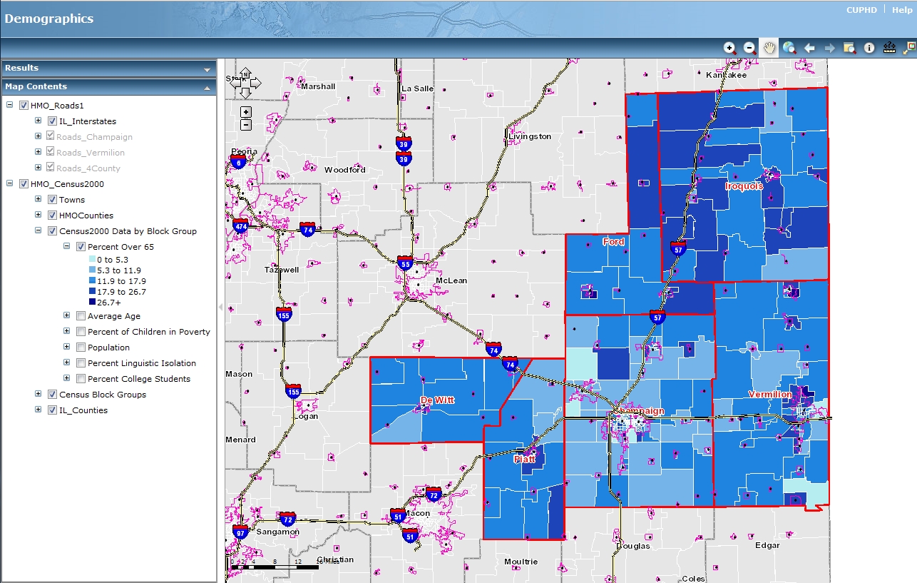
Follow the link below (click on the image) to an interactive map created using information from the 2010 Census. The maps use a combination of the US 2010 Census and 2009 American Community Survey (ACS) data. This data can be used to find interesting information about the demographics of the Health Map Online Six-County Region.
- This map contains information on the following:
- 2010 Census Data by block group
- Percent of the population over 65 years old
- Average age
- Percent of children living in poverty
- Total Population
- Percent of total population in linguistic isolation
- Percent of total population that are college studenta
To zoom in on areas of the map you can use your mouse wheel, or the + or - magnifying glasses and the top of the page. Use the hand tool to move around the map, and the 'i' tool to see details about specific items and places.
The data in this map can be obtained here.

